Data preprocessing
Standardize coordinate systems, reproject rasters, and resample to consistent pixel resolution.
Design, combine and compare spatial criteria to support robust decision-making. Normalize datasets, create criteria trees, and visualize results — all in one intuitive interface.
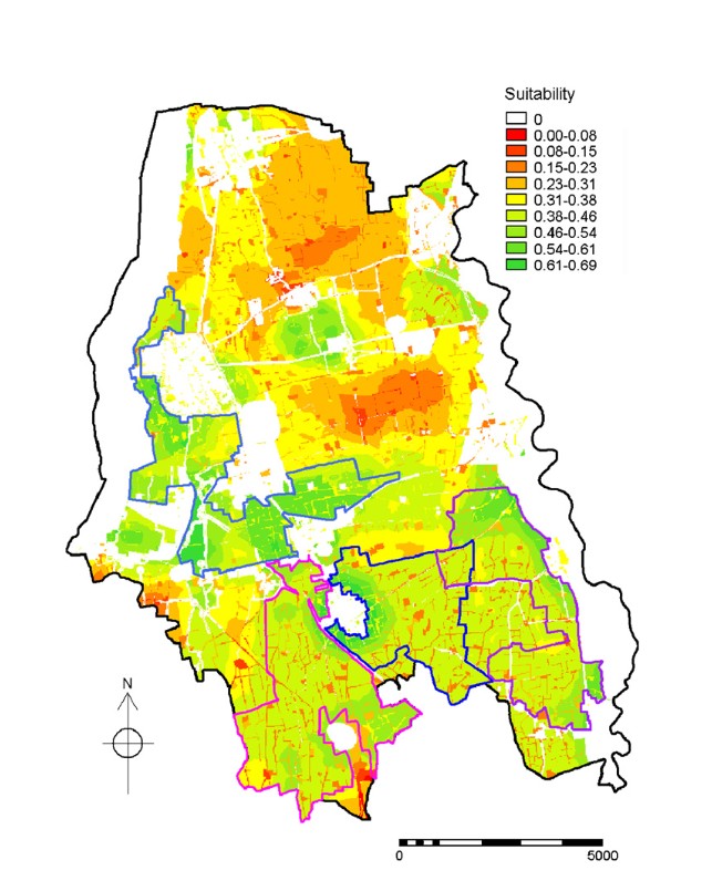
Normalized suitability map.
Standardize coordinate systems, reproject rasters, and resample to consistent pixel resolution.
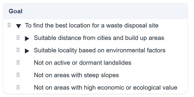
Create hierarchical criteria trees, set weights, and define alternatives for multi-criteria analysis.
Interactive maps, charts, and exportable reports for stakeholder engagement.





Create your own story or explore the community examples.